
Waukesha County Shoreland Protection Ordinance: A Homeowner's Guide
Why Waukesha County's shoreland rules matter before you design anything
On Waukesha County lakes such as Pewaukee, Nagawicka, Oconomowoc, Okauchee, Pine, North, Upper and Lower Nashotah, the rules that govern your shoreline are layered. Wisconsin NR 115 sets the statewide floor for shoreland zoning. Waukesha County's Shoreland and Floodland Protection Ordinance (EO 178-39) applies that floor locally, and in places goes further. Both apply inside the shoreland zone: 1,000 feet from the ordinary high-water mark of a lake or pond, and 300 feet from a navigable river or stream.
If you're planning a patio, a retaining wall, a boathouse, lake-access stairs, or shoreline armoring, the answer to "what can I build?" almost always starts here, not with the design.
The 75-foot principal structure setback
The headline rule most homeowners run into is the 75-foot setback from the ordinary high-water mark for principal structures. Houses, additions, attached decks, and most accessory buildings have to sit landward of that line. Some accessory structures, dry boathouses, piers, and certain shore-adjacent features, are treated separately under shoreland zoning and waterway permits.
Existing nonconforming structures (older homes built before the rule) can sometimes be maintained or expanded under specific conditions, but the path is narrow and almost always requires county zoning review.
The 35-foot vegetative buffer
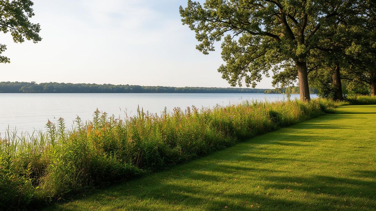
Inside the first 35 feet from the ordinary high-water mark, Waukesha County requires a vegetative buffer zone. Removal of trees and shrubs is restricted; new turf lawn is not the goal here. The intent is a band of native vegetation that slows runoff, filters nutrients, holds soil, and supports shoreline habitat.
Within the buffer you can typically maintain a view and access corridor, a defined opening (often capped around 35 feet wide or 30 percent of frontage, whichever is less) for a path, stairs, or pier access. Outside that corridor, the buffer stays vegetated.
Impervious surface limits
EO 178-39 caps the percentage of your lot inside the shoreland zone that can be covered by impervious surfaces, roofs, driveways, patios, walks, and similar. The base cap is generally 15 percent, with a higher tier (commonly up to 30 percent) available only if you implement an approved mitigation plan.
This single rule has more impact on lakefront patio design than almost any other. A 1,200-square-foot bluestone patio reads very differently on paper than the same patio built with permeable pavers and routed through a rain garden.
Mitigation: how you earn the extra impervious budget
Mitigation is the trade. In exchange for impervious coverage above the base cap, the county requires measurable improvements to the shoreland's ability to handle runoff and protect the lake. Typical mitigation elements include:
Restoring or expanding the 35-foot vegetative buffer with native plantings
Rain gardens and bioretention areas sized to capture roof and patio runoff
Permeable paver systems with engineered infiltration base
Removing existing impervious area elsewhere on the lot
Replacing turf with native groundcover in the shoreland zone
Mitigation plans are reviewed and approved by Waukesha County Parks and Land Use, they're not a checkbox. Designing the mitigation alongside the patio or driveway, not after, is what gets the permit through cleanly.
Shoreline armoring and the DNR layer
EO 178-39 governs what happens on land. Below the ordinary high-water mark, riprap, biostabilization, seawalls, dredging, pier work, you also enter Wisconsin DNR jurisdiction. General Permit 26 (GP26) covers most residential riprap installations; larger or more complex work falls under Chapter 30 individual permits.
The two systems overlap. Buffer disturbance for a shoreline stabilization project, for example, is reviewed under the county ordinance even when the stone placement itself is approved by the DNR.
What this means in practice
If you're planning lakefront work in Waukesha County, the sequence that avoids rework is:
Map the shoreland zone, 75-ft setback, and 35-ft buffer first. Every design lives inside those lines.
Run the impervious math early. Compare base cap vs. mitigated cap before committing to material choices.
Coordinate county and DNR review in parallel. Don't finish hardscape design and then discover the riprap pushes you over budget.
Build mitigation into the design, not on top of it. The rain garden and the patio should be drawn together.
This is the kind of pre-design work we handle for clients on Pewaukee, Nagawicka, Oconomowoc, and the rest of the Lake Country chain. Getting the shoreland zoning right at the front end is what makes the rest of the project, patio, stairs, boathouse, riprap, actually buildable.
Planning shoreline or lake access work? See how we approach Lakeside Living